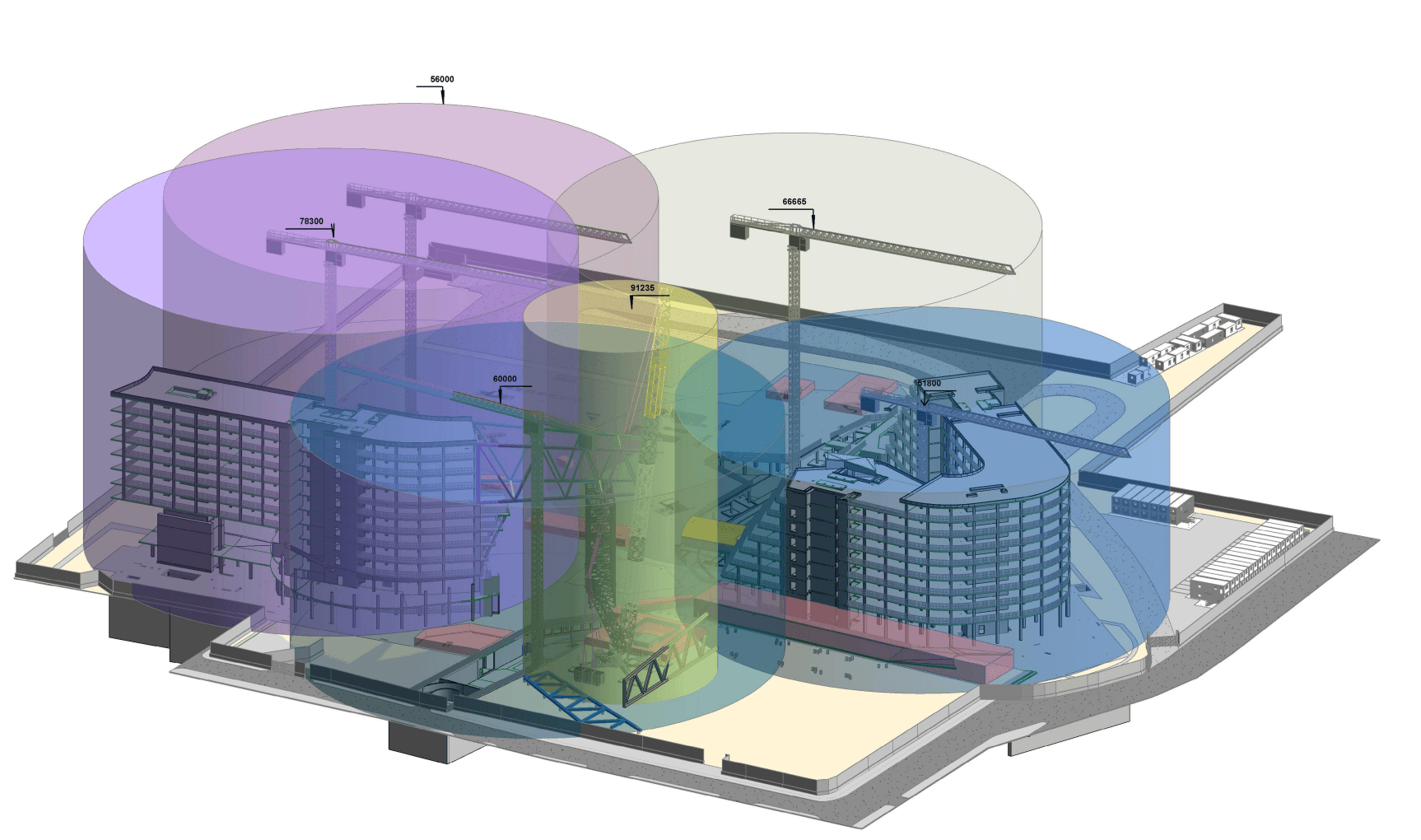
The creation of a Digital Twin is not limited to building a 3D model; it’s essentially a process of designing a complex data architecture where geometry, semantics, and operational data are tightly linked. In this context, standards such as CityGML, developed by the Open Geospatial Consortium, serve as the foundation for structured 3D urban modeling. These standards have been widely adopted in large-scale initiatives like PLATEAU, ensuring data interoperability and scalability.
However, real-world implementation always comes with various technical hurdles, especially in standardizing and integrating multi-source data. This article will analyze the data processing workflow in detail, from setting up the coordinate system to publishing on a WebGIS platform.
1. Synchronizing Coordinate Reference Systems and Processing Origin Coordinates
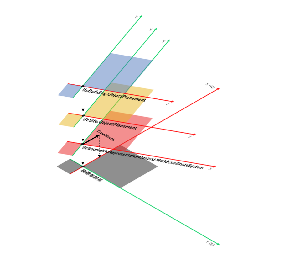
One of the fundamental challenges is the difference in coordinate reference systems between BIM and GIS data. While building design software often uses local coordinate systems, geospatial data requires alignment with national or global coordinate reference systems. Therefore, conversion to a standard coordinate system is mandatory. In Vietnam, spatial data is typically referenced according to the VN-2000 system with corresponding EPSG codes, depending on the specific area and purpose of use.
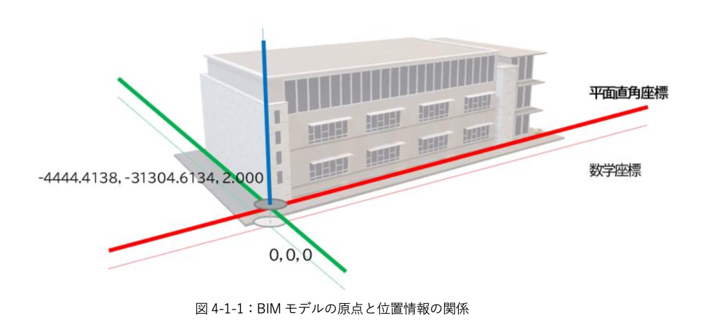
Additionally, accurately determining true north and azimuth plays a crucial role in orienting the model. At the same time, elevation referencing based on the Geoid model also needs to be applied to ensure alignment between the structure and the actual terrain. Without precise handling of this step, the 3D model can be misplaced, leading to phenomena like ‘floating’ or ‘sinking’ relative to the ground surface. Therefore, standardizing the coordinate system can be said to be the foundation of the entire Digital Twin system.
2. Mapping Data Structure from IFC to CityGML
After spatial standardization, BIM data (often in IFC format) needs to be converted to a 3D urban data model. In essence, IFC uses solid geometry combined with logical relationships, while CityGML represents objects through Boundary Representation (B-Rep) along with a semantic hierarchy.
This conversion process requires intermediate tools like FME Desktop to perform data mapping. For example:
- IfcSpace can be converted into functional spaces (Room)
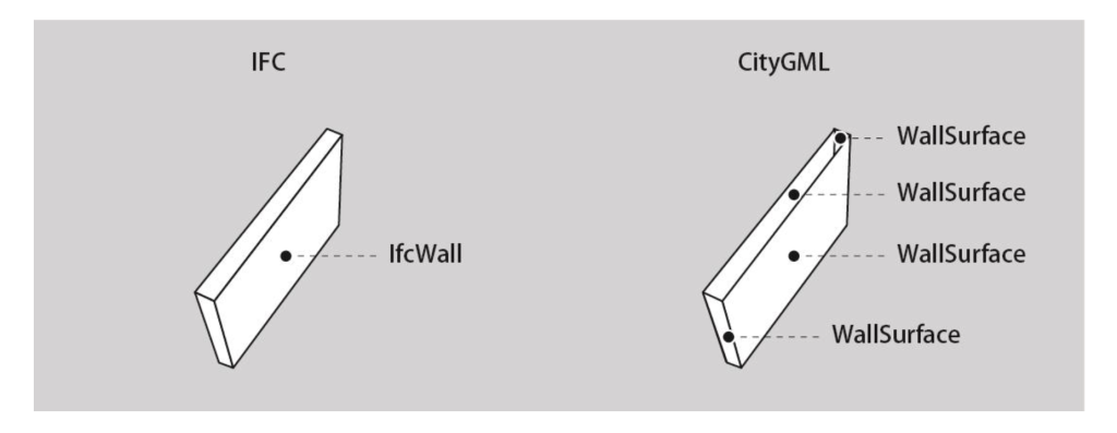
- IfcWall, IfcWindow are mapped to corresponding architectural components in CityGML
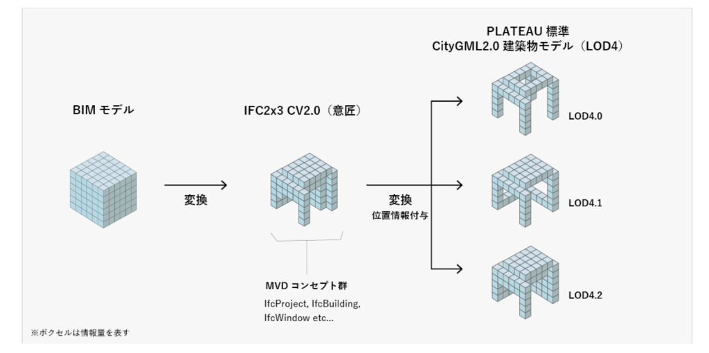
To optimize performance, the system often applies Model View Definition configurations to remove unnecessary details such as rebar or hidden technical systems.
Furthermore, this process needs to be accompanied by automated Quality Assurance/Quality Control (QA/QC) steps to detect geometric errors, semantic discrepancies, or missing data. This ensures that the converted model can be used stably in an operational environment.
3. Polygon Mesh Optimization and Geometric Error Correction
During the process of urban model construction, especially from Point Cloud data, geometric errors are unavoidable. Common errors include:
- Vertex mismatch
- Self-intersection of surfaces
- Non-manifold geometry
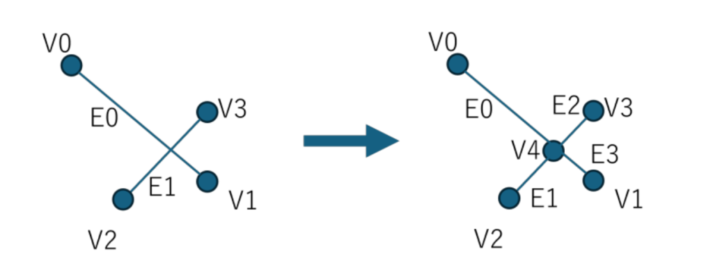
These errors can severely affect display capabilities and graphics processing in a runtime environment. Therefore, geometric processing algorithms need to be applied to:
- Merge nearby vertices based on a tolerance threshold
- Remove unnecessary hidden faces
- Ensure mesh integrity
This process not only helps reduce data volume but also significantly improves rendering performance, especially in large-scale models such as urban-level ones.
4. Publishing Data to WebGIS and Application Platforms
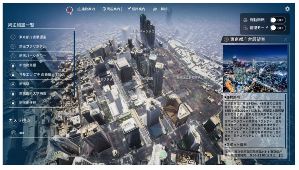
Once finalized, CityGML data will be converted into web-optimized formats, most commonly 3D Tiles. This format allows for hierarchical levels of detail (Level of Detail – LOD), enabling browsers to load only the necessary data parts according to the user’s viewpoint. Platforms like CesiumJS allow high-performance display and interaction with 3D data directly in the browser.
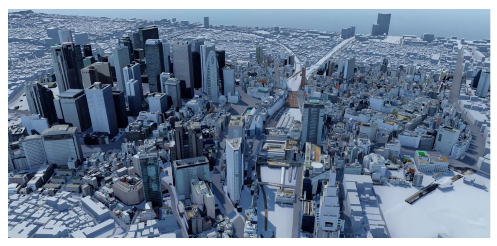
Furthermore, the PLATEAU ecosystem also provides an SDK that supports integration with engines like Unity or Unreal Engine. This opens up possibilities for developing advanced applications such as urban simulation, virtual reality (VR), or augmented reality (AR).
Building a compliant Digital Twin not only requires technology but also a deep understanding of data architecture and real-world deployment processes. MH&T’s team of engineers provides comprehensive solutions, from processing input data (Point Cloud, BIM) to building a complete Digital Twin platform. Simultaneously, we leverage open-source technologies and tools to optimize costs and ensure system flexibility. If your business is looking for a systematic approach to building urban data or digital infrastructure platforms, MH&T is ready to accompany you from the very first step.