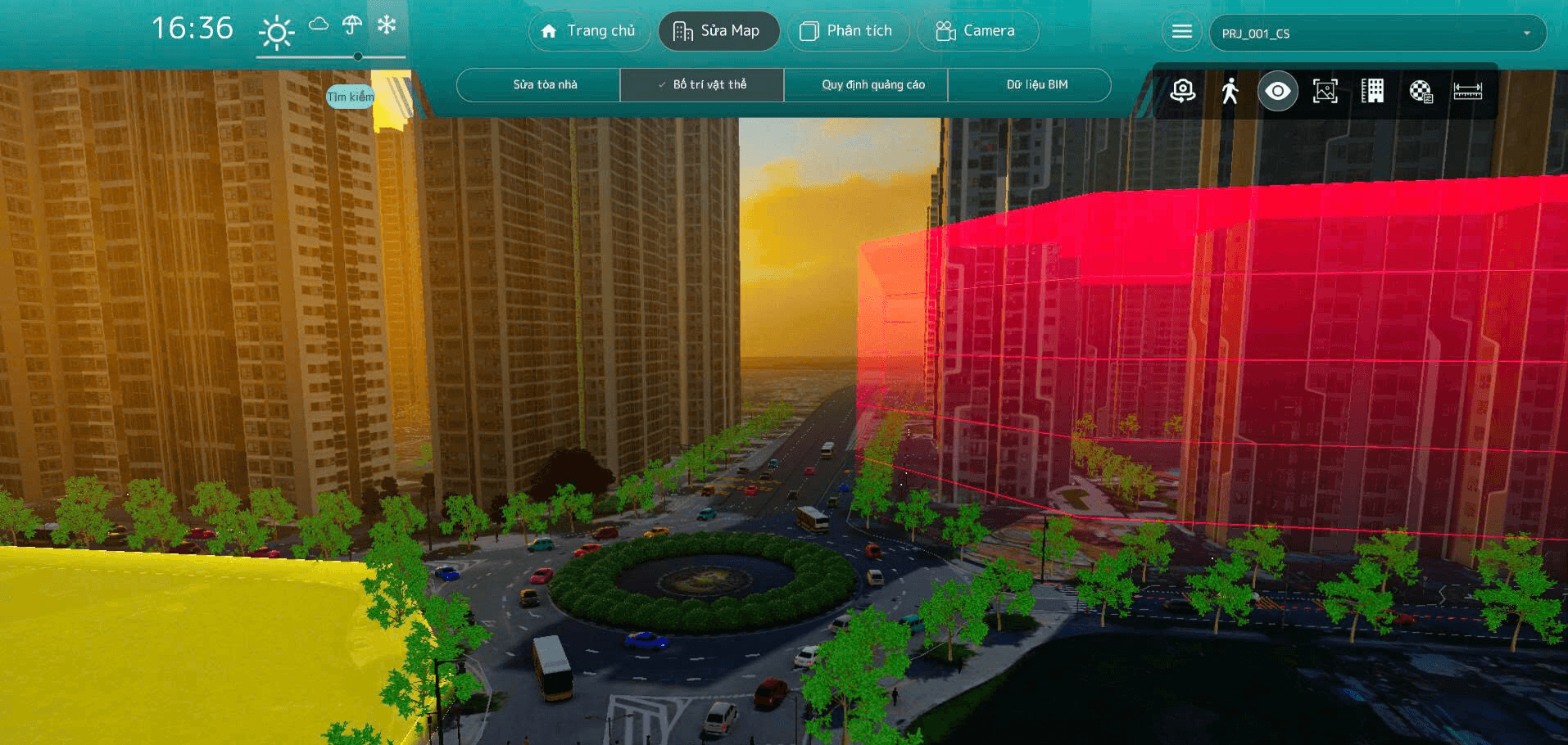
From real-world data to precise planning decisions
In urban planning, decisions are often based on 2D drawings or disparate models — making it difficult and non-intuitive to assess real-world impacts.
MH&T addresses this challenge with its Smart City Simulation platform, a Digital Twin system that recreates urban environments in a digital space, enabling observation, experimentation, and evaluation of scenarios before deployment.
Using LiDAR technology, on-site photography, and 3D modeling on the Unity platform, we build highly accurate urban models that closely reflect the current situation in Vietnam.
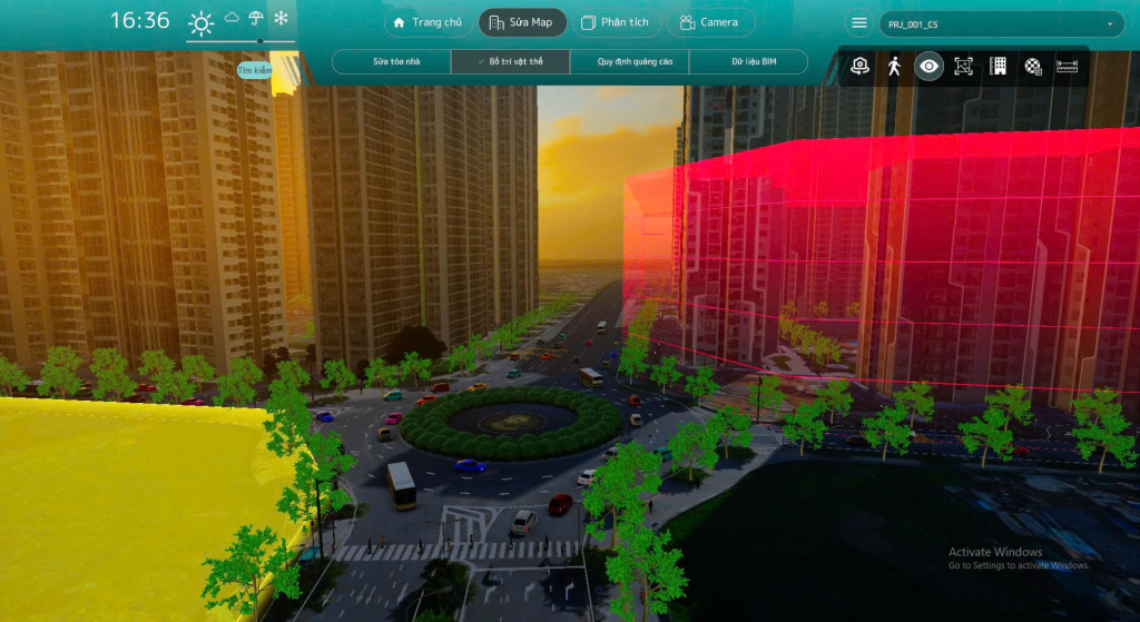
Key Capabilities
- Flexible planning simulation and editing
Add, change buildings, infrastructure, greenery, advertisements, etc., to quickly test design options - Evaluation under various real-world conditions
Simulate time of day, lighting, weather (rain, snow, etc.) to understand environmental impacts and spatial experience - Immersive and intuitive experience
Street view and free-angle perspectives help observe the city as if present on site
Practical Applications
- Support for urban planning and project approval
- Project presentations for investors and stakeholders
- Assessment of landscape and environmental impacts
- Testing urban development scenarios
Why MH&T?
We combine 3D + spatial data + simulation to create a system that not only ‘displays’ but also helps in decision-making.
Inheriting technology from Japan and optimized for the Vietnamese context, MH&T focuses on building models that can be immediately applied in practice — not just for demonstration.
👉 Do you have a planning project or need urban simulation?
Contact MH&T to build a Digital Twin model tailored to your needs.